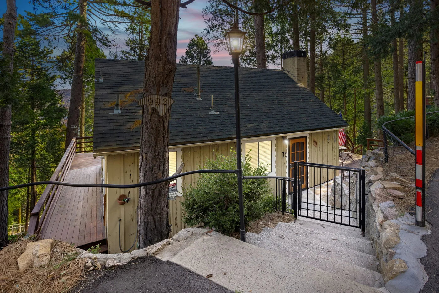
From the High Desert, the San Bernardino Mountains and the east end of the San Gabriels are an easy day trip. Highway 18 climbs to Big Bear, Highway 138 leads to Silverwood Lake, Crestline and Lake Arrowhead, and Highway 138 to Highway 2 reaches Wrightwood. As of November 2026, all of these are reachable, but the Angeles Crest Highway is still closed west of Wrightwood, Silverwood Lake has no boating, and Lake Arrowhead's lake itself is private.
Quick reference: mountain day trips from Hesperia and Victorville
| Place | What it is | Route from Hesperia/Victorville | Fee or pass (as of Nov 2026) |
|---|---|---|---|
| Silverwood Lake SRA | State park reservoir with swim beach, trails, camping | Highway 138 west of I-15 | $10 per vehicle off-season; $20 summer weekends |
| Lake Gregory Regional Park | County lake in Crestline with swim beach and water slides | Highway 138 to Crestline | Paid parking; summer beach passes from $17 |
| Lake Arrowhead | Private lake ringed by a mountain town | Highway 138 to Highway 173, or Highway 18 | Lake use reserved for association members |
| Big Bear Lake | Public lake, ski areas, Forest Service sites | Highway 18 via Lucerne Valley | Adventure Pass at posted Forest Service sites |
| Wrightwood | Mountain town on the Pacific Crest Trail | Highway 138 west to Highway 2 | Adventure Pass at posted Forest Service sites |
Which roads go up the mountain from the High Desert?
Highway 18 to Big Bear. From Apple Valley, Highway 18 runs east through Lucerne Valley and then climbs to the east end of Big Bear Valley. On October 17, 2026, Caltrans road information listed no restrictions on Highways 18, 38 or 330.
Highway 138 and Highway 173 to Silverwood, Crestline and Lake Arrowhead. Highway 138 leaves I-15 in the Cajon Pass and passes Silverwood Lake before meeting Highway 18 near Crestline. Highway 173 branches off toward Lake Arrowhead. After the 2025 Lake Fire closed Highway 138 near Silverwood, it reopened in July 2025.
Caltrans plans culvert work on Highway 138 near Silverwood and repaving on Highway 18 near Crestline, so expect future lane work. Skip the old unpaved stretch of Highway 173 between Hesperia and Deer Lodge Park. In a 2022 local report, Caltrans said it had no plan to reopen that section.
Highway 138 to Highway 2 for Wrightwood. Head west on Highway 138 from I-15, then turn south on Highway 2. As of October 30, 2026, Caltrans listed Highway 2 closed from Islip Saddle to Vincent Gulch, about 5.4 miles west of Big Pines. Caltrans says there is no timeline for reopening after winter storm damage. Wrightwood is open from the desert side, but you cannot drive through to the Los Angeles basin.
For any trip, check Caltrans QuickMap before you leave, or call 1-800-427-7623. Highway closures in the Cajon Pass are covered in our Cajon Pass I-15 update.
What do chain controls mean on mountain roads?
Caltrans posts three chain control levels:
- R1: A car or light truck (under 6,000 lbs) can skip chains if two drive wheels have snow tires. Everyone else chains up.
- R2: Only a 4WD or AWD vehicle with snow-tread tires on all four wheels can skip chains. Carry a set anyway.
- R3: No exemptions. Every vehicle needs chains.
Under chain control, you can go no faster than 25 or 30 mph. The county asks drivers to get all the way off the road before putting chains on, and to bring blankets, water and extra warm clothes.
Do you need an Adventure Pass?
Yes, at Forest Service day-use sites that post a fee. Both the San Bernardino and Angeles National Forests honor the same Adventure Pass. As of November 2026:
- Daily pass: $5
- Annual pass: $30
- Second-vehicle annual pass: $5
You can buy one at San Bernardino National Forest offices, from local vendors or online through MyScenicDrives.com. The forest also sells a digital day-use pass on Recreation.gov. Interagency passes such as America the Beautiful are accepted at fee sites like Meadow's Edge. Starting January 1, 2026, the annual America the Beautiful pass costs $80 for U.S. residents and $250 for nonresidents.
The Adventure Pass does not cover state or county parks like Silverwood Lake or Lake Gregory.
What can you do at Big Bear Lake?
The Big Bear Discovery Center, at 40971 North Shore Drive in Fawnskin, is the Forest Service visitor center on the north shore. It is open Thursday through Monday, 9 a.m. to 4 p.m., and the phone number is (909) 382-2790.
Some north shore picnic sites close for eagle season. Meadow's Edge Picnic Area, for example, shuts from December 1 to April 1, and sometimes sooner when it freezes. It is an Adventure Pass site.
Big Bear Mountain Resort runs the area's ski slopes, and Snow Valley sits on Highway 18 near Running Springs on the way up. For lift tickets, passes and opening dates, see our guide to ski resorts near the High Desert.
- Visit Big Bear, the local tourism site, points to public lots on Bartlett, Knickerbocker and Pennsylvania roads. Overnight parking in town is not free.
- Stay off the lake ice. The same page says county code bans going on it, with a $500 fine.
Can you visit Lake Arrowhead if the lake is private?
Yes, but not to swim, boat or fish on it. The lake is managed by the Arrowhead Lake Association, and at a 2023 board meeting a director said the lake "is a private lake and will remain private," according to The Alpine Mountaineer. The same report says renters of short-term rentals may not operate any watercraft on it.
You can still drive up Highway 173 or Highway 18 and see the lake from public roads. For water time, go to Lake Gregory in nearby Crestline.
What is open at Lake Gregory Regional Park?
Lake Gregory Regional Park is a county park at 24171 Lake Drive in Crestline. The county contracts its operation to Lake Gregory Recreation Company, and the county's All Parks pass does not cover it.
The swim beach, water slides and boathouse run Memorial Day to Labor Day. In 2026, a local report put beach access at $17 per day and an all-access pass at $32. Fishing, hiking and parking hours are sunrise to sunset. The same 2026 report says shore fishing stays open all year for $15 a day.
You pay for parking with the ParkMobile app in any of three lots. Vehicles with Disabled Veteran tags park free.
Is Silverwood Lake open after the Lake Fire?
Yes, with limits. Silverwood Lake State Recreation Area, at 13990 Sawpit Canyon Road, was open for day use and camping when State Parks last checked its page on October 18, 2026. Boating is closed: a windstorm wrecked the marina docks, and State Parks says the ramps cannot be reached safely. Invasive golden mussels turned up in the lake in 2025, so when boating resumes, every boat gets inspected on the way out.
- Hours: 7 a.m. to 7 p.m. from October through March; 6 a.m. to 9 p.m. April through September.
- Day use: $10 per vehicle ($9 seniors). Summer weekends and holidays are $20.
- Swimming: Allowed in marked areas, but the lake has an algae caution advisory. Dogs may not go on the beach or into the water.
For more on the area, see our Silverwood Hesperia update and Hesperia community guide.
Is Wrightwood hiking open after the Bridge Fire?
Mostly, yes. The 2024 Bridge Fire led to a June 2025 Forest Service closure order covering several Pacific Crest Trail segments, including the Grassy Hollow and Inspiration Point stretches, plus roads and campgrounds on Blue Ridge. Its end date was May 22, 2026.
As of November 2026, neither the Angeles National Forest alerts page nor the PCT Association closure list shows a Bridge Fire closure. The Big Pines volunteers post that every trail is open again, and they urge extra care in burned areas.
- Grassy Hollow Visitor Center was lost in the fire, and no rebuild date is posted. The Big Pines Visitor Center came through and, per the volunteers' last update, opens on weekends and some holidays.
- Mountain High is the ski area on Highway 2 near Wrightwood. See the ski resorts guide for details.
Where can you play in the snow?
Stick to ski resorts and other designated winter recreation sites. The county bans snow play on the road and in front of private homes, and says violators can be fined $150 or more and towed.
Obey no-parking signs, keep your car off the road and the street right-of-way, and take all your trash home, broken sleds included.
For closer-to-home outings, see High Desert hotspots close to home and desert and Route 66 day trips.
How Pleasant Hill can help
Pleasant Hill Real Estate Group is based in Hesperia. If you are thinking about a move to the High Desert, you can search homes or get a free home valuation. Questions? Contact us or reach Nancy Navarro in Hesperia.
Map
See these 7 places on a map. The map loads from OpenStreetMap only when you tap the button.
- Silverwood Lake State Recreation Area — Day use and camping open; boating closed as of October 2026.
34.28053, -117.33497 · Google Maps · Google Earth · Apple Maps · Location: Silverwood Lake SRA (California State Parks) - Lake Gregory Regional Park (approximate) — County lake in Crestline; shore fishing open year-round.
34.24344, -117.27379 · Google Maps · Google Earth · Apple Maps · Location: Lake Gregory Regional Park (San Bernardino County Parks) - Lake Arrowhead — Mountain village; the lake itself is private, so enjoy it from public roads.
34.24834, -117.18922 · Google Maps · Google Earth · Apple Maps · Location: USGS GNIS (The National Map), feature 1652738 - Big Bear Lake — Public lake and ski town; stay off the lake ice.
34.24390, -116.91143 · Google Maps · Google Earth · Apple Maps · Location: USGS GNIS (The National Map), feature 1652673 - Meadow's Edge Picnic Area — North shore Adventure Pass site; closed December 1 to April 1 for eagle season.
34.26056, -116.90778 · Google Maps · Google Earth · Apple Maps · Location: Meadow's Edge Picnic Area (San Bernardino National Forest) - Wrightwood — Open from the desert side; Highway 2 is closed farther west as of November 2026.
34.36084, -117.63340 · Google Maps · Google Earth · Apple Maps · Location: USGS GNIS (The National Map), feature 1652816 - Big Pines Visitor Center (approximate) — Survived the Bridge Fire; volunteers list weekend and some holiday hours.
34.37889, -117.69007 · Google Maps · Google Earth · Apple Maps · Location: USGS GNIS (The National Map), feature 269839
Download these places for Google Earth (KML). Pins mark public places and are approximate; check access, hours and closures before you go, and stay off private land.
Share this guide
Frequently asked questions
Do I need an Adventure Pass to park in the San Bernardino National Forest?
Only at Forest Service day-use sites that post a fee, such as some picnic areas and trailheads. As of November 2026, a daily Adventure Pass is $5 and an annual pass is $30. Interagency passes such as America the Beautiful are also accepted at those sites.
Can the public swim or boat on Lake Arrowhead?
No. The Arrowhead Lake Association treats the lake as private, and a 2023 local news report quoted a board director saying it will stay that way. For public swimming, boating and fishing, Lake Gregory in Crestline is close by.
Is Highway 2 open to Wrightwood?
Yes, from the Highway 138 side. As of October 30, 2026, Caltrans reported Highway 2 closed west of Vincent Gulch, about 5.4 miles west of Big Pines, so you cannot drive through to La Canada Flintridge.
Is Silverwood Lake open?
Yes for day use and camping, per the State Parks page checked October 18, 2026. Boating is closed because wind damage to the marina docks left the ramps unsafe to use. Day use is $10 per vehicle off-season.
What do the R1, R2 and R3 chain controls mean?
They are Caltrans chain levels. At R1, a car or light truck with snow tires on two drive wheels can skip chains; at R2, only 4WD or AWD vehicles with snow-tread tires on all four wheels can; at R3, everyone needs chains. Top speed under chain control is 25 or 30 mph.
Where can I play in the snow legally near Big Bear?
Go to a ski resort or another designated winter recreation site. San Bernardino County bans snow play on roadways and in front of private homes, and county code bans going onto Big Bear Lake ice.
Sources
- SR-2 Road Conditions (Caltrans) (accessed November 2, 2026)
- Road Information for SR 18, 38, 330 (Caltrans) (accessed November 2, 2026)
- Chain Controls / Chain Installation (Caltrans) (accessed November 2, 2026)
- State Route 2 Angeles Crest Highway Winter Storm Repairs (Caltrans District 7) (accessed November 2, 2026)
- SR-18 Pavement and Culvert Project near Crestline (Caltrans District 8) (accessed November 2, 2026)
- NOI SR-138 Culvert Repair Project near Silverwood Lake (Caltrans District 8) (accessed November 2, 2026)
- Adventure Pass (USDA Forest Service, Pacific Southwest Region) (accessed November 2, 2026)
- Passes, San Bernardino National Forest (USDA Forest Service) (accessed November 2, 2026)
- Nonresident Fees (National Park Service) (accessed November 2, 2026)
- Mountaintop Ranger District and Discovery Center (USDA Forest Service) (accessed November 2, 2026)
- Meadow's Edge Picnic Area (USDA Forest Service) (accessed November 2, 2026)
- Angeles National Forest Alerts (USDA Forest Service) (accessed November 2, 2026)
- Forest Order 05-01-25-12, Bridge Fire Area Closure (USDA Forest Service) (accessed November 2, 2026)
- Silverwood Lake SRA (California State Parks) (accessed November 2, 2026)
- Silverwood Lake SRA Reopens Following Lake Fire (California State Parks) (accessed November 2, 2026)
- Lake Gregory Regional Park (San Bernardino County Regional Parks) (accessed November 2, 2026)
- Park Admission Prices (San Bernardino County Regional Parks) (accessed November 2, 2026)
- First Major Winter Storm Brings Snow to San Bernardino County Mountains (County of San Bernardino) (accessed November 2, 2026)
- No Snow Play on the Roadway (County of San Bernardino) (accessed November 2, 2026)
- Lake Gregory Regional Park (Lake Gregory Recreation Company) (accessed November 2, 2026)
- Lake Gregory Parking (accessed November 2, 2026)
- Lake Gregory Opens for the Summer Season (The Alpine Mountaineer) (accessed November 2, 2026)
- Can the Unimproved Part of Hwy 173 Be Reopened? (The Alpine Mountaineer) (accessed November 2, 2026)
- Big Bear Lake Visitor Safety (Visit Big Bear) (accessed November 2, 2026)
- Forest Status and Trail Updates (Volunteers of the Angeles National Forest, Big Pines) (accessed November 2, 2026)
- PCT Closures (Pacific Crest Trail Association) (accessed November 2, 2026)
- Arrowhead Lake Association - Board clarifies who can access which docks (The Alpine Mountaineer, May 26, 2023) (accessed November 2, 2026)
General information, not legal, tax or lending advice. Rules, fees and rates change; confirm with the agency linked above or ask us. Pleasant Hill Real Estate Group · CA DRE Corp. #01997374 · AZ Entity Lic. #LC694532000 · Equal Housing Opportunity.